
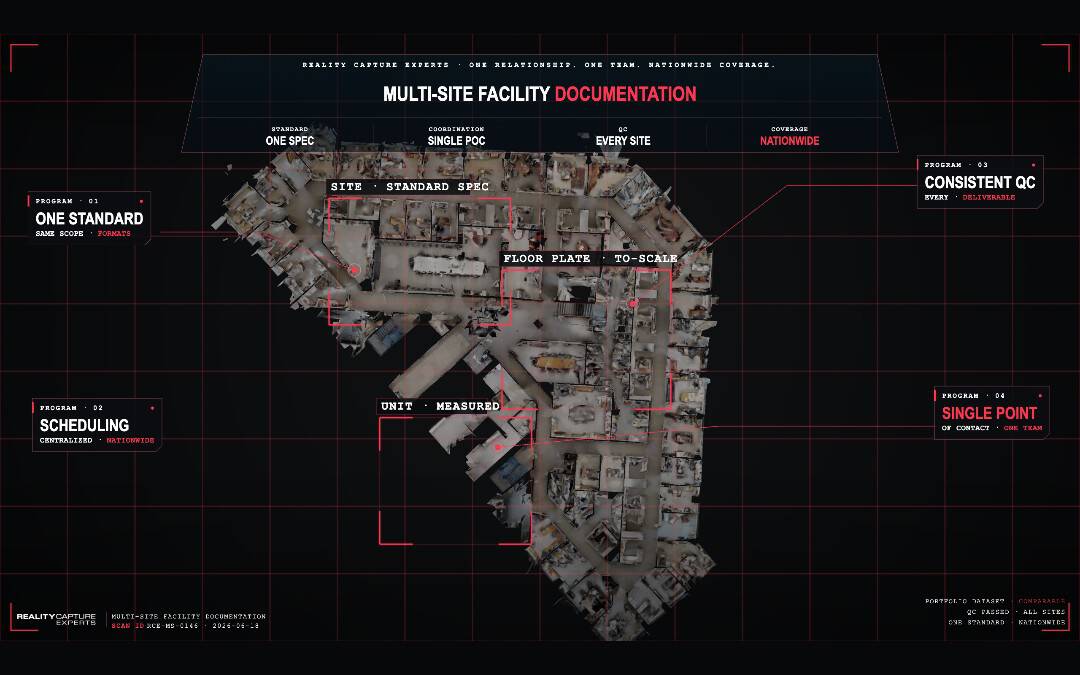
Consistent multi-site facility documentation is a success when you run one capture standard everywhere, coordinated through a single point of contact, with the same quality control on every site. The hard part is making sure a building in Phoenix is documented the same way as a building in Boston, so the data lines up when you compare them. A managed capture program solves that by fixing the method, not just the tool.
Most multi-location organizations do not have a technology problem. They have a coordination problem. When each region hires its own scanning vendor, or each facility manager photographs spaces in their own way, you end up with a pile of files that cannot be compared, searched, or trusted across the portfolio. This post explains what consistent facility documentation actually requires, why it breaks down at scale, and how RCE delivers it nationwide.
What does “consistent facility documentation” actually mean?
Consistent documentation means every site is captured to the same scope, at the same level of detail, in the same formats, and checked against the same QC standard before anyone relies on it. Consistency is what makes data comparable. Without it, you have records; with it, you have a dataset.
For a facilities leader managing 50, 200, or 2,000 sites, the value is not any single scan. The value is being able to pull up any building and know the documentation was produced the same way as every other building. That is what lets you benchmark conditions, plan capital across the portfolio, and hand a contractor accurate as-builts without a site visit.
Consistency shows up in concrete places: the same areas captured at every site (not just the lobby at one and the mechanical room at another), the same deliverable formats (Matterport digital twin, point cloud, floor plans, and where needed CAD or BIM), the same naming and tagging so files are findable, and the same accuracy expectations so measurements mean the same thing everywhere.
Why does facility documentation break down across multiple locations?
It breaks down because each site is handled as its own project, by different people, with no shared standard. The result is uneven coverage, mismatched formats, and gaps nobody notices until they need the data and it is not there.
The most common failure is the do-it-yourself approach, where the organization leaves each location to manage its own scanning. One region hires a local operator; another asks staff to walk the building with a phone; a third never gets to it. Even when every site is captured, the outputs do not match. A facilities team then spends more time reconciling inconsistent files than they would have spent capturing properly the first time.
A second failure is the one-time capture with no plan to maintain it. A building gets scanned during a renovation, then changes over the next two years, and the documentation quietly goes stale. Without a coordinated program and a schedule, documentation decays the same way deferred maintenance does.
A third failure is treating documentation as an IT or marketing asset rather than an operations asset. Virtual tours built for leasing do not carry the measurements, coverage, or accuracy a facilities or capital-planning team needs. The capture has to be scoped to the operational use from the start.
How does a managed capture program keep every site consistent?
A managed program keeps sites consistent by centralizing the standard and the coordination in one place, then deploying trained operators to execute that standard everywhere. The organization works with a single point of contact instead of managing operators and vendors site by site.
This is the core difference between a managed service and a self-serve model. In a self-serve model, the burden of consistency falls on the client: you have to write the standard, find operators in every market, train them, schedule them, and check their work. In a managed model, RCE owns that. We define the capture SOP once, apply it at every location, and run the same QC pass on every deliverable before it reaches you.
Here is what that looks like operationally at RCE. We scope the program up front — which spaces, what level of detail, which deliverables, and the accuracy each site requires — and document it as the standard for the whole portfolio. We coordinate scheduling nationwide so a 40-site rollout does not depend on 40 separate phone calls. We deploy capture operators who follow the same on-site procedure everywhere. And every scan passes QC against the agreed scope before delivery, so you are not the one catching missed rooms or bad alignment. RCE is happy to connect over a call to discuss multi-site facility documentation for your business or organization.
Because one team coordinates the whole program, the data comes back uniform: same coverage, same formats, same tagging, same accuracy. That is the thing a portfolio owner cannot easily build by stitching together local vendors.
What should be captured at each facility?
At minimum, capture the spaces that drive operational and capital decisions: building interiors and circulation, mechanical, electrical, and plumbing rooms, roofs and exterior conditions where access allows, and any area subject to compliance or audit. The exact scope should be set once and applied to every site.
The Matterport 3D digital twin gives facilities teams a navigable record of each space, with measurements available throughout. Where teams need engineering-grade outputs, the same capture supports a LiDAR point cloud delivered in open formats such as E57 or RCP, floor plans, and scan-to-BIM at a defined level of detail. Defining the level of detail (LOD) and level of accuracy (LOA) up front keeps every site comparable and prevents over- or under-capturing.
The point is not to capture everything everywhere. It is to capture the same right things everywhere, so the portfolio dataset holds together. For how this feeds budgeting, see how 3D documentation supports capital planning. For condition work specifically, see what a facility condition assessment should capture.
How do you keep documentation current across a portfolio?
You keep it current by treating capture as a recurring program, not a one-time event — scheduling re-capture after major changes and on a defined cadence, coordinated centrally so it actually happens. Documentation is only reliable if it reflects the building as it stands today.
A managed program builds the re-capture schedule into the engagement. When a site is renovated, reconfigured, or changes use, it gets re-documented to the same standard. Because RCE coordinates this nationwide through one point of contact, updates do not depend on each local team remembering to act. The standard, the scheduling, and the QC stay in one place.
This also protects the data you already paid for. Space and as-built records that drift out of date quietly lose their value; a maintained program keeps them usable for space planning, handover, and capital decisions over time. See how to get reliable space utilization data across buildings and what facility handover documentation should include.
Frequently Asked Questions
How many locations do you need before a managed program makes sense?
There is no hard cutoff, but the value grows with site count and with how much you need data to be comparable across the portfolio. Teams managing dozens to thousands of sites benefit most, because that is where self-managed, site-by-site capture becomes unreliable and time-consuming.
What deliverables can a single capture produce?
One on-site capture can support a Matterport 3D digital twin, a LiDAR point cloud in open formats such as E57 or RCP, 2D floor plans, and scan-to-BIM at a defined level of detail. Scoping the deliverables up front keeps every site consistent.
How is a managed capture program different from hiring a local scanning vendor?
A local vendor captures one site to their own standard. A managed program sets one standard for the whole portfolio, coordinates scheduling nationwide through a single point of contact, and runs the same QC on every deliverable — so the data lines up across all your locations.
How do you keep documentation from going out of date?
Re-capture is scheduled into the program — after major changes and on a defined cadence — and coordinated centrally so it actually happens, rather than depending on each local team to remember.
Can you match an existing internal capture standard?
Yes. If your organization already has documentation requirements, RCE captures to that standard and applies it consistently at every site, with QC checking each deliverable against it.
What Happens Next
When a facilities team brings a multi-location portfolio to RCE, the first step is scoping the program: which spaces, what level of detail, which deliverables, and the accuracy each site requires. We document that as the standard for every location. From there, we coordinate scheduling across markets, deploy operators who follow the same on-site procedure, and run QC on every scan before it reaches you. You work with one point of contact for the whole portfolio, and the data comes back consistent enough to compare site to site. If you are weighing whether to coordinate this yourself or hand it to a managed program, the deciding factor is usually how many sites you have and how badly you need the data to line up.